We had our first snow of the year on Tuesday (20 cm!) which is exciting because it means winter’s coming but also makes me a bit wistful that summer’s definitively over. There are a ton of trips I had intended to write about (backpacking the Skoki Loop, driving down the west coast to San Francisco (and meeting @rockmaven56!), backpacking to Healy Pass & Egypt Lake, climbing at Skaha, multi-pitchin’ on Tunnel Mtn.) but writing took a backseat to actually going outside and doing something. Now that I’m in the awkward season between summer and winter activities, it seemed like a good time to put the pen to paper (or I guess more accurately, hands to the keyboard).
So in reverse chronological order, the last thing I did was hike out to the ice caves in Moose Mountain (which are also referred to as the Canyon Creek ice caves or more generally, Ing’s Mine). Here’s the info on the caves:
Location: Drive out of town on Highway 22 past Bragg Creek and continue on the 66 towards Moose Mtn. Turn off at Canyon Creek Rd and drive ~300m to the locked gates. Walk for ~7km on a gravel road past various natural gas extraction stations. Once you can see the cave ahead (there is no way you’ll miss it!), choose your own adventure up the scree hill to the cave.
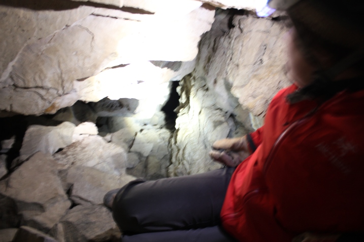
The Cave: At the entrance there’s a great flat area for eating lunch and the cave itself goes back maybe 300m. My girlfriend and I both brought helmets, headlamps and flashlights as daylight doesn’t extend much past the entrance. The helmet might not be necessary if you’re just walking to the end and back but I’ll be honest, I felt more hardcore wearing it :) There are two areas where you can branch off and explore further but there is no way you could accidentally take either branch as they’re tight squeezes. One is at the back of the cave and the other is to the left just past the entrance. Some of the people who arrived before us took the branch at the entrance and it led up to a ledge ~15m above the cave entrance. One look at the tiny dark tunnel and there was NO way we were going to check it out ourselves thankyouverymuch.
Random Fact: A while back, you used to be able to drive all the way down the road and park just below the cave entrance. The scree slope however is quite steep and, well, covered in scree which means Kananaskis Public Safety was doing more rescues than they wanted to. As a result, the road was closed thus necessitating the 5km “scenic” road walk which discouraged the less prepared from visiting.
I really wish I had more pictures of the entrance of the cave but I had brought along my DSLR which was safely packed away until I was in the cave. On the way out, the walk down the scree hill was so irritating that I forgot about taking pictures once I was down. I definitely recommend checking these caves out as there aren’t any others near Calgary that are as accessible and safe to explore. As a bonus, while walking on a gravel road is pretty mindless, you can get a great conversation going the whole way there and back, the views are fairly decent without all densely packed trees and it makes for a good shoulder season hike!

Where the daylight ends in the cave. This shot was really hard to take because the daylight was really bright compared to the pitch black. The first tunnel is on the left just past the big boulder.

The first tunnel. It’s surprisingly hard to balance a camera on a rock-cairn-tripod for 30s exposures. Also the tunnel was very black and very tiny. Looking at it, I wasn’t feeling any urges to check it out.
In case you’re wondering, there is an ice wall in the back of the cave I just didn’t take any pictures of it. If you want to see more pictures of the inside of the cave or the entrance, check out the blog ‘Hiking with Barry’.


